It's one of the most spectacular Land Trust trail systems in Rhode Island -- it seems to have everything, from amber waves of grain surmounted by grand trees and stone walls (one person commenting on a post of mine was sure those were the ones from
The Shawshank Redemption) and woodland trails that just seem to go on and on. It contains all kinds of histories in its cellar holes and old mill sluiceways -- but above all, its name recalls
Weetamoo (1635-1676), a Pocasset Wampanoag chief, the
sunksqua (female sachem) of the Pocasset people. A powerful leader, she (like Chaucer's "Wife of Bath") had five husbands, and moved several times between the shifting alliances between tribes and colonists. Her last husband was Quinnapin, son of Ninigret and grandson of Canonchet, whom she married with the hope of reinforcing the Wampanoag-Narragansett alliance. Alas, that hope was in vain; the alliance was defeated by the colonists, and it's said that Weetamoo's head was displayed on a pike in Taunton, Massachusetts.
One would understand if her spirit were restless, or even vengeful. But in these woods that bear her name, the spirit is one of beauty and reconciliation. With fields of unmown hay in the spring, old stones witness to many tales, and a great golden canopy of leaves in the autumn, Weetamoo Woods is a place of welcome. Happily, the Tiverton Land Trust has recently updated its trail maps, and made a good job of making the trail system easier to follow. Hikers can readily enjoy two to three hours of trails, while day-trippers and sometimes wanderers can choose any number of shorter outings.
 |
The great tree
|
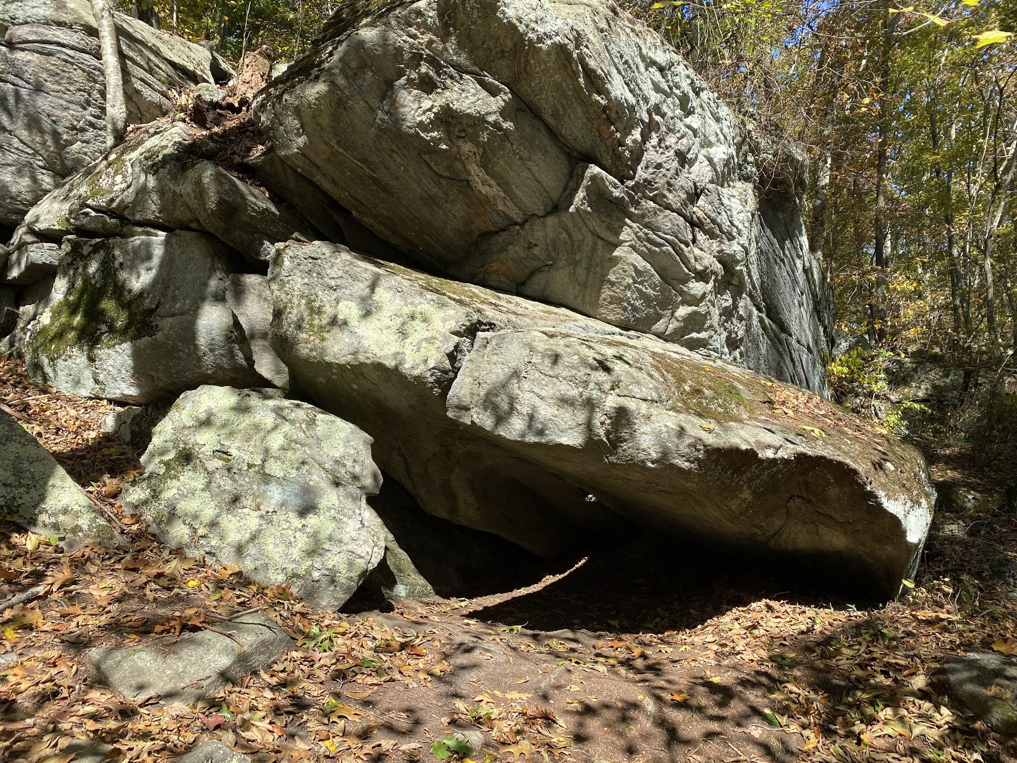
My favored trail starts from the main parking lot, taking an early right turn onto the orange trail, which follows an old cobbled cart-path deep into the forest. You'll eventually come to a quick series of choices -- the blue trail heads off to your left over a rugged way of stone and water, while a bit later the red trail takes a more level way to your left. Either way, connect at the far end with the green trail, which heads off to the east through (in spring) the crowded, heavy breath of mountain laurel. Stay on green until you come to yellow, taking another right and passing by an enormous old oak. You'll soon find yourself on a long and straight cart-path, with options to your left; I recommend staying straight until you reach the abandoned section of Lafayette Road. From there, walk to your left down the road until you see the blazes for the Ridge Trail or the Lafayette Connector. Either will take you to the cemetery trail, which climbs up through fields of gold to ancient trees and a cemetery -- the perfect place for a reflective snack.
 |
The grave of Philip Gray
|
Returning the way you came, take a right and stick with yellow. You'll eventually find yourself on the "main drag" of the trail system, which follows the original "Eight Rod Road" -- an historic road named for the distance between the stone walls on either side -- back to where you've parked. Near the end, don't forget to visit the horses who graze at the field on your right. You will return sadder -- yet so much wiser -- than when you left.